According to the United States Census Bureau, the town has a total area of 41.47 square miles (107.4 km2), of which, 41.26 square miles (106.9 km2) of it is land and 0.21 square miles (0.54 km2) of it (0.51%) is water.[4]
Hammonton borders the Borough of Folsom, to the southwest, and both Hamilton and Mullica townships to the southeast. It also borders Camden County to the northwest, and Burlington County to the north east. It is located in the Atlantic Coastal Plain, so is largely flat, though the highest point in Atlantic County is located along the Pennsylvania Railroad within the borders of Hammonton. Due to its proximity to the Pine Barrens, the soil is largely sandy, making it ideal for growing blueberries. Low, marshy areas, often within the Pine Barrens are also used for cranberry cultivation.
Hammonton has a humid continental climate bordering on a humid subtropical climate, characterized by brisk winters, hot summers, and plentiful precipitation spread evenly throughout the year. Source: Wikipedia.

20120326
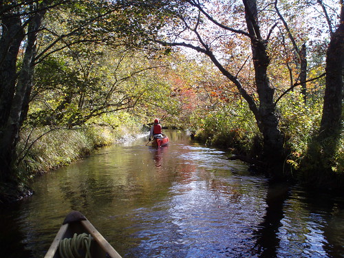
Mullica River, Hammonton, New Jersey
Subscribe to:
Post Comments (Atom)
No comments:
Post a Comment